
Mohokare Local Municipality topographic map
Interactive map
Click on the map to display elevation.
About this map
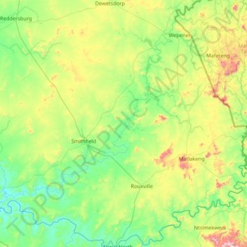
Name: Mohokare Local Municipality topographic map, elevation, terrain.
Average elevation: 4,938 ft
Minimum elevation: 4,131 ft
Maximum elevation: 7,969 ft