
Viehhofen topographic map
Interactive map
Click on the map to display elevation.
About this map
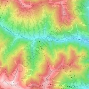
Name: Viehhofen topographic map, elevation, terrain.
Location: Viehhofen, Zell am See, Salzburg, 5752, Austria (47.32486 12.67016 47.39696 12.77287)
Average elevation: 4,514 ft
Minimum elevation: 2,572 ft
Maximum elevation: 6,775 ft