
Camlachie topographic map
Interactive map
Click on the map to display elevation.
About this map
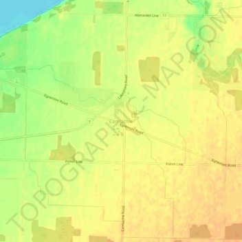
Name: Camlachie topographic map, elevation, terrain.
Location: Camlachie, Lambton County, Ontario, Canadá (43.01644 -82.18303 43.05644 -82.14303)
Average elevation: 646 ft
Minimum elevation: 571 ft
Maximum elevation: 676 ft