
Almiruete topographic map
Interactive map
Click on the map to display elevation.
About this map
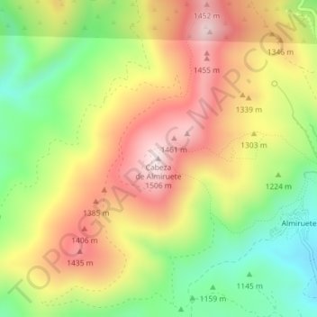
Name: Almiruete topographic map, elevation, terrain.
Location: Almiruete, Tamajón, Guadalajara, Castilla-La Mancha, España (41.05229 -3.24198 41.05239 -3.24188)
Average elevation: 4,137 ft
Minimum elevation: 3,373 ft
Maximum elevation: 4,902 ft