Geolocate

Keavy topographic map

Click on the map to display elevation.

About this map

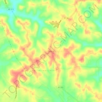
Name: Keavy topographic map, elevation, terrain.

Location: Keavy, Laurel County, Kentucky, 40737, United States (36.98370 -84.18104 37.02370 -84.14104)

Average elevation: 1,191 ft

Minimum elevation: 1,073 ft

Maximum elevation: 1,289 ft

Laurel County trails, hiking, mountain biking, running and outdoor activities

Gear up for your next adventure:

☀️Outdoor Sunscreen - High protection sunscreen for outdoor activities
🏔️Mountain Trail Maps - High‑detail maps for popular peaks
🎒Waterproof Dry Bags - Keep your electronics and maps dry inside your pack
🗺️NatGeo Topo Maps - High-quality waterproof printed topographic maps of US Parks
🛶Inflatable Kayak - Portable kayak for rivers, lakes, and expeditions

As an Amazon Associate, this site earns from qualifying purchases at no extra cost to you.