
Castenray topographic map
Interactive map
Click on the map to display elevation.
About this map
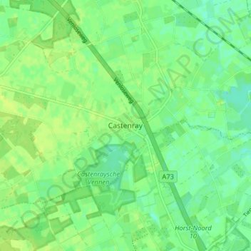
Name: Castenray topographic map, elevation, terrain.
Location: Castenray, Limburg, Nederland, 5811AB, Nederland (51.46949 6.01481 51.50949 6.05481)
Average elevation: 82 ft
Minimum elevation: 59 ft
Maximum elevation: 98 ft