
Vilert topographic map
Interactive map
Click on the map to display elevation.
About this map
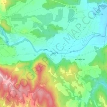
Name: Vilert topographic map, elevation, terrain.
Location: Vilert, Pla de l'Estany, Gerona, Cataluña, 17720, España (42.15398 2.80169 42.19398 2.84169)
Average elevation: 472 ft
Minimum elevation: 253 ft
Maximum elevation: 889 ft