
Sunset topographic map
Interactive map
Click on the map to display elevation.
About this map
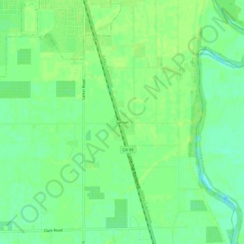
Name: Sunset topographic map, elevation, terrain.
Location: Sunset, Sutter County, California, 95953, United States (39.23045 -121.67191 39.27045 -121.63191)
Average elevation: 75 ft
Minimum elevation: 49 ft
Maximum elevation: 85 ft