
Cuchillar de ls Sierpe topographic map
Interactive map
Click on the map to display elevation.
About this map
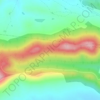
Name: Cuchillar de ls Sierpe topographic map, elevation, terrain.
Average elevation: 2,175 ft
Minimum elevation: 1,890 ft
Maximum elevation: 2,677 ft