
Erlen topographic map
Interactive map
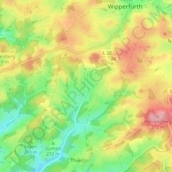
Click on the map to display elevation.
About this map
Name: Erlen topographic map, elevation, terrain.
Average elevation: 981 ft
Minimum elevation: 748 ft
Maximum elevation: 1,250 ft
Other topographic maps
Click on a map to view its topography, its elevation and its terrain.
Erlen
Allemagne > Rhénanie-du-Nord-Westphalie > Erlen
Erlen, Oberbergischer Kreis, Rhénanie-du-Nord-Westphalie, 51689, Allemagne
Average elevation: 984 ft