
Saint-Chéron topographic map
Interactive map
Click on the map to display elevation.
About this map
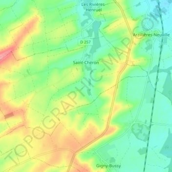
Name: Saint-Chéron topographic map, elevation, terrain.
Average elevation: 459 ft
Minimum elevation: 351 ft
Maximum elevation: 633 ft
Other topographic maps
Click on a map to view its topography, its elevation and its terrain.
Reims
França > Grande Leste > Marne
Reims, Marne, Grande Leste, França metropolitana, 51100, França
Average elevation: 315 ft