
Parc National de Huascarán topographic map
Interactive map
Click on the map to display elevation.
About this map
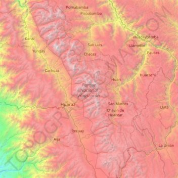
Name: Parc National de Huascarán topographic map, elevation, terrain.
Average elevation: 12,077 ft
Minimum elevation: 584 ft
Maximum elevation: 21,913 ft