
Parque natural de Cumbre Vieja topographic map
Interactive map
Click on the map to display elevation.
About this map
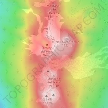
Name: Parque natural de Cumbre Vieja topographic map, elevation, terrain.
Average elevation: 5,459 ft
Minimum elevation: 4,324 ft
Maximum elevation: 6,352 ft