
Sunset Point topographic map
Interactive map
Click on the map to display elevation.
About this map
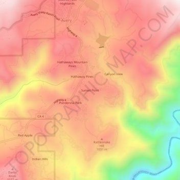
Name: Sunset Point topographic map, elevation, terrain.
Location: Sunset Point, Calaveras County, California, 95233, USA (38.16881 -120.38325 38.20881 -120.34325)
Average elevation: 3,127 ft
Minimum elevation: 1,470 ft
Maximum elevation: 4,032 ft