
Kampung Paya Nongmi topographic map
Interactive map
Click on the map to display elevation.
About this map
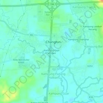
Name: Kampung Paya Nongmi topographic map, elevation, terrain.
Average elevation: 92 ft
Minimum elevation: 52 ft
Maximum elevation: 230 ft
Other topographic maps
Click on a map to view its topography, its elevation and its terrain.
Parit Utama Changloon
Parit Utama Changloon, Kampung Paya Nongmi, Changlun, Kubang Pasu, Kedah, 06010, Malaysia
Average elevation: 89 ft