
El Hamma du Jerid topographic map
Interactive map
Click on the map to display elevation.
About this map
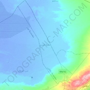
Name: El Hamma du Jerid topographic map, elevation, terrain.
Location: El Hamma du Jerid, Degach, Tozeur, Tunisie (33.97404 8.02802 34.18041 8.24175)
Average elevation: 13 ft
Minimum elevation: -69 ft
Maximum elevation: 453 ft
Other topographic maps
Click on a map to view its topography, its elevation and its terrain.