
Río Lagartos topographic map
Interactive map
Click on the map to display elevation.
About this map
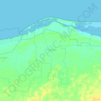
Name: Río Lagartos topographic map, elevation, terrain.
Location: Río Lagartos, Yucatán, Mexico (21.40984 -88.20893 21.62509 -87.86165)
Average elevation: 13 ft
Minimum elevation: -3 ft
Maximum elevation: 59 ft
Other topographic maps
Click on a map to view its topography, its elevation and its terrain.