
Schnaittach topographic map
Interactive map
Click on the map to display elevation.
About this map
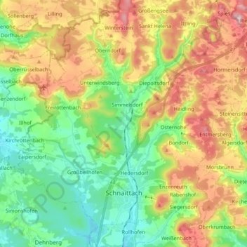
Name: Schnaittach topographic map, elevation, terrain.
Average elevation: 1,480 ft
Minimum elevation: 1,086 ft
Maximum elevation: 2,083 ft
Other topographic maps
Click on a map to view its topography, its elevation and its terrain.
Velden
Duitsland > Beieren > Landkreis Nürnberger Land
Velden, Velden (VGem), Landkreis Nürnberger Land, Beieren, 91235, Duitsland
Average elevation: 1,496 ft