
Thank you for supporting this site ❤️
Make a donation
Make a donation
Gear up for your next adventure:
As an Amazon Associate, this site earns from qualifying purchases at no extra cost to you.
巴彦村 topographic map
Click on the map to display elevation.
Thank you for supporting this site ❤️
Make a donation
Make a donation
Gear up for your next adventure:
As an Amazon Associate, this site earns from qualifying purchases at no extra cost to you.
About this map
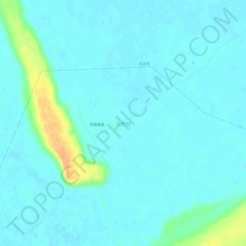
Name: 巴彦村 topographic map, elevation, terrain.
Location: 巴彦村, 新站镇, 肇源县, 大庆市, 黑龙江省, 中国 (45.73477 124.15535 45.77477 124.19535)
Average elevation: 440 ft
Minimum elevation: 417 ft
Maximum elevation: 545 ft
Thank you for supporting this site ❤️
Make a donation
Make a donation
Gear up for your next adventure:
As an Amazon Associate, this site earns from qualifying purchases at no extra cost to you.