
Ripley topographic map
Interactive map
Click on the map to display elevation.
About this map
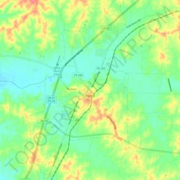
Name: Ripley topographic map, elevation, terrain.
Average elevation: 381 ft
Minimum elevation: 305 ft
Maximum elevation: 509 ft
Other topographic maps
Click on a map to view its topography, its elevation and its terrain.
Halls
United States > Tennessee > Lauderdale County > Halls
Halls, Lauderdale County, Tennessee, 38040, United States
Average elevation: 305 ft