
Ernleiten topographic map
Interactive map
Click on the map to display elevation.
About this map
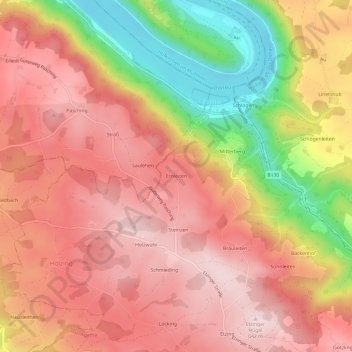
Name: Ernleiten topographic map, elevation, terrain.
Location: Ernleiten, St. Agatha, Bezirk Grieskirchen, 4084, Österreich (48.39580 13.83942 48.43580 13.87942)
Average elevation: 1,647 ft
Minimum elevation: 866 ft
Maximum elevation: 2,100 ft