
konawe topographic map
Interactive map
Click on the map to display elevation.
About this map
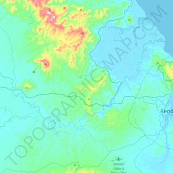
Name: konawe topographic map, elevation, terrain.
Location: konawe, Kendari, Sultra, Indonesia (-4.03546 122.18745 -3.85822 122.50633)
Average elevation: 236 ft
Minimum elevation: -10 ft
Maximum elevation: 1,949 ft