
Isalo topographic map
Interactive map
Click on the map to display elevation.
About this map
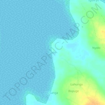
Name: Isalo topographic map, elevation, terrain.
Location: Isalo, Kaliro, Eastern Region, Ouganda (1.11134 33.45533 1.15134 33.49533)
Average elevation: 3,406 ft
Minimum elevation: 3,389 ft
Maximum elevation: 3,481 ft