
Molar topographic map
Interactive map
Click on the map to display elevation.
About this map
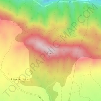
Name: Molar topographic map, elevation, terrain.
Location: Molar, Aýna, Albacete, Castilla-La Mancha, España (38.53319 -2.05809 38.53329 -2.05799)
Average elevation: 2,969 ft
Minimum elevation: 1,991 ft
Maximum elevation: 3,743 ft