
Pontillas topographic map
Interactive map
Click on the map to display elevation.
About this map
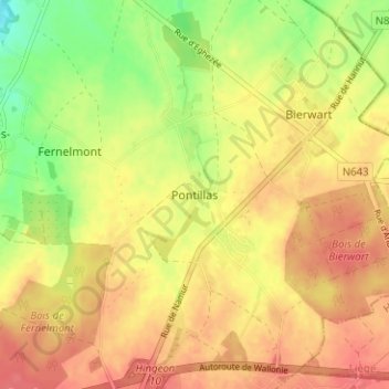
Name: Pontillas topographic map, elevation, terrain.
Location: Pontillas, Fernelmont, Namen, Wallonië, 5380, België (50.52975 4.99761 50.56975 5.03761)
Average elevation: 623 ft
Minimum elevation: 505 ft
Maximum elevation: 696 ft