
Laundos topographic map
Interactive map
Click on the map to display elevation.
About this map
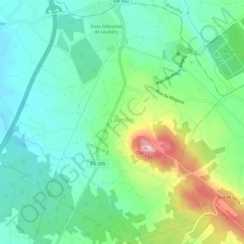
Name: Laundos topographic map, elevation, terrain.
Location: Laundos, Póvoa de Varzim, Porto, Portugal (41.42156 -8.74456 41.45552 -8.70076)
Average elevation: 236 ft
Minimum elevation: 69 ft
Maximum elevation: 617 ft