
Calientes topographic map
Interactive map
Click on the map to display elevation.
About this map
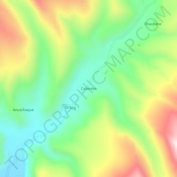
Name: Calientes topographic map, elevation, terrain.
Location: Calientes, Provincia de Candarave, Tacna, Perú (-17.12944 -70.15711 -17.08944 -70.11711)
Average elevation: 14,813 ft
Minimum elevation: 14,062 ft
Maximum elevation: 15,971 ft