
Shirpur topographic map
Interactive map
Click on the map to display elevation.
About this map
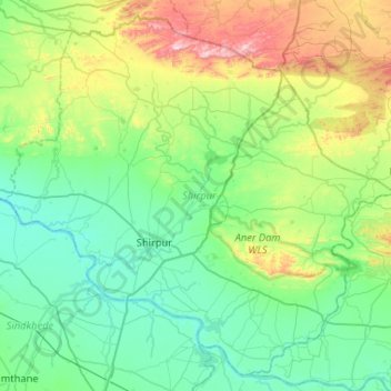
Name: Shirpur topographic map, elevation, terrain.
Location: Shirpur, Dhule, Maharashtra, India (21.18754 74.68609 21.63393 75.20720)
Average elevation: 873 ft
Minimum elevation: 381 ft
Maximum elevation: 2,605 ft
Other topographic maps
Click on a map to view its topography, its elevation and its terrain.
Dahivad
India > Maharashtra > Shirpur
Dahivad, Shirpur, Dhule, Maharashtra, 425438, India
Average elevation: 607 ft