
Castro Verde e Casével topographic map
Interactive map
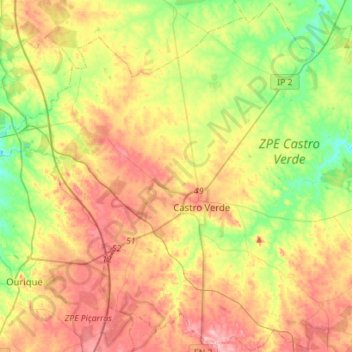
Click on the map to display elevation.
About this map
Name: Castro Verde e Casével topographic map, elevation, terrain.
Average elevation: 679 ft
Minimum elevation: 449 ft
Maximum elevation: 938 ft
Other topographic maps
Click on a map to view its topography, its elevation and its terrain.
Almeirim
Portugal > Alentejo > Castro Verde e Casével > Almeirim
Almeirim, Castro Verde, Castro Verde e Casével, Castro Verde, Beja, Baixo Alentejo, Alentejo, Portugal
Average elevation: 758 ft