
Østsida topographic map
Interactive map
Click on the map to display elevation.
About this map
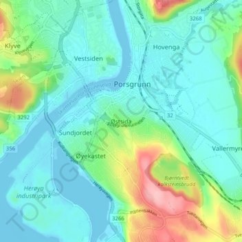
Name: Østsida topographic map, elevation, terrain.
Location: Østsida, Porsgrunn, Telemark, 3922, Norway (59.11456 9.63261 59.15456 9.67261)
Average elevation: 98 ft
Minimum elevation: -10 ft
Maximum elevation: 427 ft