
Milngavie topographic map
Interactive map
Click on the map to display elevation.
About this map
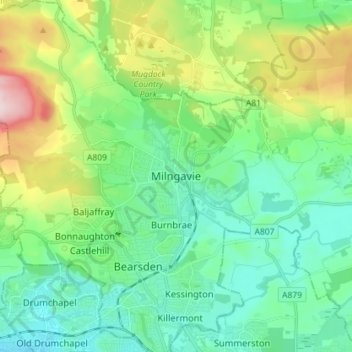
Name: Milngavie topographic map, elevation, terrain.
Location: Milngavie, East Dunbartonshire, Escocia, G62 6BH, Gran Bretaña (55.90108 -4.35780 55.98108 -4.27780)
Average elevation: 325 ft
Minimum elevation: 26 ft
Maximum elevation: 1,142 ft