
St. Anthony topographic map
Interactive map
Click on the map to display elevation.
About this map
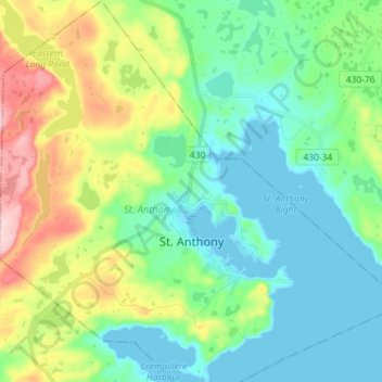
Name: St. Anthony topographic map, elevation, terrain.
Location: St. Anthony, Newfoundland and Labrador, Canada (51.33246 -55.66386 51.42151 -55.55376)
Average elevation: 210 ft
Minimum elevation: -3 ft
Maximum elevation: 755 ft