
Larjalas topographic map
Interactive map
Click on the map to display elevation.
About this map
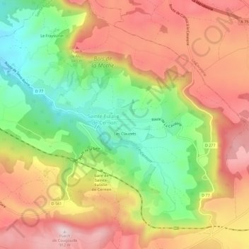
Name: Larjalas topographic map, elevation, terrain.
Average elevation: 2,395 ft
Minimum elevation: 1,759 ft
Maximum elevation: 2,982 ft
Other topographic maps
Click on a map to view its topography, its elevation and its terrain.
Le Mas Trinquier
France > Occitanie > Aveyron > Sainte-Eulalie-de-Cernon
Le Mas Trinquier, Sainte-Eulalie-de-Cernon, Millau, Aveyron, Occitanie, France métropolitaine, 12230, France
Average elevation: 2,461 ft
Hameau haut moyen age de fabiergue
France > Occitanie > Aveyron > Sainte-Eulalie-de-Cernon
Hameau haut moyen age de fabiergue, Vers hameau moyen age, Sainte-Eulalie-de-Cernon, Millau, Aveyron, Occitanie, France métropolitaine, 12230, France
Average elevation: 2,595 ft