
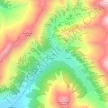
Ladins topographic map
Interactive map
Click on the map to display elevation.
About this map
Name: Ladins topographic map, elevation, terrain.
Location: Ladins, Schmirn, Bezirk Innsbruck-Land, Tyrol, Autriche (47.08746 11.58301 47.12746 11.62301)
Average elevation: 6,473 ft
Minimum elevation: 4,774 ft
Maximum elevation: 8,396 ft