
Martos topographic map
Interactive map
Click on the map to display elevation.
About this map
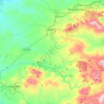
Name: Martos topographic map, elevation, terrain.
Location: Martos, Jaén, Andalusia, 23600, Spain (37.57616 -4.18351 37.76185 -3.87281)
Average elevation: 2,365 ft
Minimum elevation: 1,037 ft
Maximum elevation: 5,217 ft