
Lutrebois topographic map
Interactive map
Click on the map to display elevation.
About this map
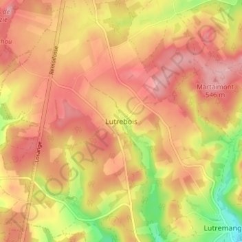
Name: Lutrebois topographic map, elevation, terrain.
Location: Lutrebois, Bastenaken, Luxemburg, Wallonië, 6600, België (49.93895 5.71418 49.97895 5.75418)
Average elevation: 1,654 ft
Minimum elevation: 1,375 ft
Maximum elevation: 1,811 ft