
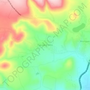
Tlacote El Alto topographic map
Interactive map
Click on the map to display elevation.
About this map
Name: Tlacote El Alto topographic map, elevation, terrain.
Location: Tlacote El Alto, Municipio de Querétaro, Querétaro, México (20.67192 -100.54495 20.71192 -100.50495)
Average elevation: 6,470 ft
Minimum elevation: 6,060 ft
Maximum elevation: 7,028 ft