
Dago topographic map
Interactive map
Click on the map to display elevation.
About this map
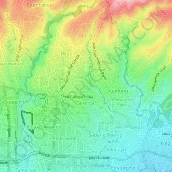
Name: Dago topographic map, elevation, terrain.
Location: Dago, West Java, 40134, Indonesia (-6.90268 107.60053 -6.86268 107.64053)
Average elevation: 2,579 ft
Minimum elevation: 2,293 ft
Maximum elevation: 3,081 ft