
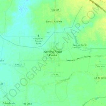
General Ángel Flores topographic map
Interactive map
Click on the map to display elevation.
About this map
Name: General Ángel Flores topographic map, elevation, terrain.
Location: General Ángel Flores, Navolato, Sinaloa, 80349, México (24.77888 -107.69660 24.85888 -107.61660)
Average elevation: 52 ft
Minimum elevation: 26 ft
Maximum elevation: 92 ft