
חריש topographic map
Interactive map
Click on the map to display elevation.
About this map
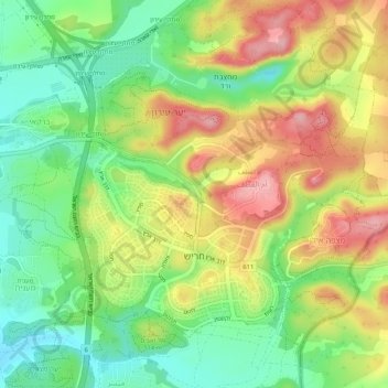
Name: חריש topographic map, elevation, terrain.
Location: Harish, חריש, נפת חדרה, District de Haïfa, Israël (32.44932 35.03521 32.48420 35.08796)
Average elevation: 325 ft
Minimum elevation: 112 ft
Maximum elevation: 584 ft