
Borroloola topographic map
Interactive map
Click on the map to display elevation.
About this map
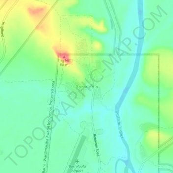
Name: Borroloola topographic map, elevation, terrain.
Location: Borroloola, Northern Territory, 0854, Australia (-16.07945 136.28541 -16.03945 136.32541)
Average elevation: 75 ft
Minimum elevation: 7 ft
Maximum elevation: 217 ft