
Franchimont topographic map
Interactive map
Click on the map to display elevation.
About this map
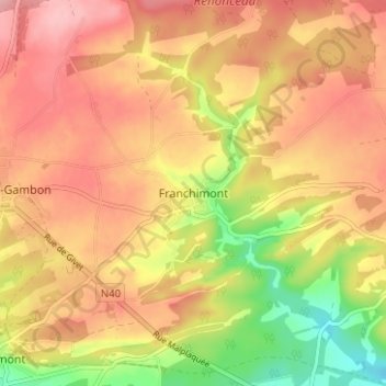
Name: Franchimont topographic map, elevation, terrain.
Location: Franchimont, Philippeville, Namen, Wallonië, 5600, België (50.17005 4.61940 50.21005 4.65940)
Average elevation: 820 ft
Minimum elevation: 564 ft
Maximum elevation: 984 ft