
Djupamukuba topographic map
Interactive map
Click on the map to display elevation.
About this map
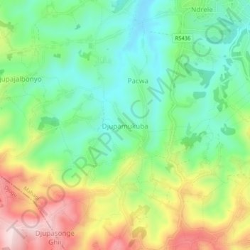
Name: Djupamukuba topographic map, elevation, terrain.
Location: Djupamukuba, Mahagi, Ituri, Democratic Republic of the Congo (2.13308 30.90656 2.17308 30.94656)
Average elevation: 6,217 ft
Minimum elevation: 5,784 ft
Maximum elevation: 6,939 ft