
Ferndorf topographic map
Interactive map
Click on the map to display elevation.
About this map
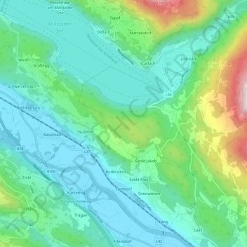
Name: Ferndorf topographic map, elevation, terrain.
Location: Ferndorf, Villach-Land, Kärnten, 9702, Österreich (46.72034 13.58762 46.79462 13.70731)
Average elevation: 2,474 ft
Minimum elevation: 1,660 ft
Maximum elevation: 5,400 ft