
Arnemuiden topographic map
Interactive map
Click on the map to display elevation.
About this map
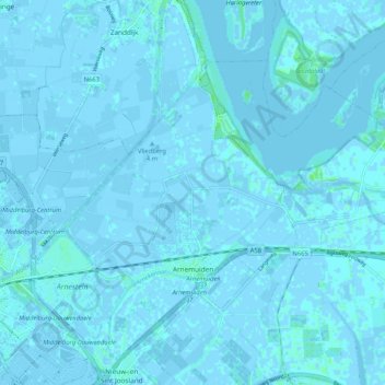
Name: Arnemuiden topographic map, elevation, terrain.
Location: Arnemuiden, Middelburg, Seeland, Niederlande (51.49062 3.64261 51.53518 3.74694)
Average elevation: 0 ft
Minimum elevation: -16 ft
Maximum elevation: 23 ft