
Make a donation
Gear up for your next adventure:
As an Amazon Associate, this site earns from qualifying purchases at no extra cost to you.
Vallegrande topographic map
Click on the map to display elevation.
Make a donation
Gear up for your next adventure:
As an Amazon Associate, this site earns from qualifying purchases at no extra cost to you.
Vallegrande
The town lies in a big valley (hence the name) at an altitude of 2,030 m (6,660 ft) and has approximately 6,000 inhabitants. It has a mild temperate climate due mainly to its valley location, altitude, and the cold winter fronts the sweep the plains of Santa Cruz known as "Surazo".
Make a donation
Gear up for your next adventure:
As an Amazon Associate, this site earns from qualifying purchases at no extra cost to you.
About this map
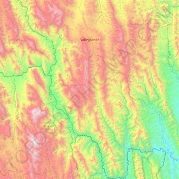
Name: Vallegrande topographic map, elevation, terrain.
Location: Vallegrande, Santa Cruz, Bolivia (-19.18451 -64.30318 -18.29254 -63.53131)
Average elevation: 5,558 ft
Minimum elevation: 1,657 ft
Maximum elevation: 11,253 ft
Make a donation
Gear up for your next adventure:
As an Amazon Associate, this site earns from qualifying purchases at no extra cost to you.