
Araya topographic map
Interactive map
Click on the map to display elevation.
About this map
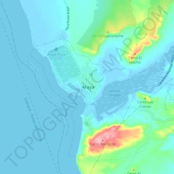
Name: Araya topographic map, elevation, terrain.
Location: Araya, Municipio Cruz Salmerón Acosta, Sucre, Venezuela (10.53981 -64.29773 10.61981 -64.21773)
Average elevation: 59 ft
Minimum elevation: -16 ft
Maximum elevation: 463 ft