Geolocate

Waddesdon topographic map

Click on the map to display elevation.

About this map

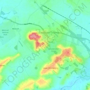
Name: Waddesdon topographic map, elevation, terrain.

Location: Waddesdon, Buckinghamshire, England, United Kingdom (51.80570 -0.95138 51.86840 -0.86742)

Average elevation: 295 ft

Minimum elevation: 217 ft

Maximum elevation: 541 ft

Other topographic maps

Click on a map to view its topography, its elevation and its terrain.

Bledlow Ridge

United Kingdom > England > Buckinghamshire

Average elevation: 525 ft

Loudwater

United Kingdom > England > Buckinghamshire

Average elevation: 299 ft

Grove

United Kingdom > England > Buckinghamshire

Average elevation: 308 ft

Burcott

United Kingdom > England > Buckinghamshire > Wing

Average elevation: 407 ft

Tylers Green

United Kingdom > England > Buckinghamshire

Average elevation: 492 ft

Haddington Hill

United Kingdom > England > Buckinghamshire > Halton

Average elevation: 682 ft

Gear up for your next adventure:

GPS Sports Watch - GPS watch for running, hiking and training
🧷Carabiner Set - Durable clips for gear attachment
🧭Hiking Compass - Precision compass for reliable navigation in the wilderness
🔥Plasma Lighters - Windproof lighters that work in any weather condition
🎁Geography Themed Gifts - Unique gift ideas for map lovers and geography enthusiasts

As an Amazon Associate, this site earns from qualifying purchases at no extra cost to you.