
Thank you for supporting this site ❤️
Make a donation
Make a donation
Gear up for your next adventure:
As an Amazon Associate, this site earns from qualifying purchases at no extra cost to you.
Bushra topographic map
Click on the map to display elevation.
Thank you for supporting this site ❤️
Make a donation
Make a donation
Gear up for your next adventure:
As an Amazon Associate, this site earns from qualifying purchases at no extra cost to you.
About this map
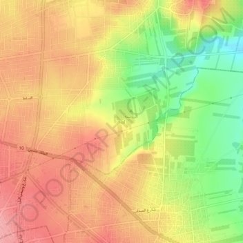
Name: Bushra topographic map, elevation, terrain.
Location: Bushra, حوارة, Irbid Qasabah District, Irbid, 21141, Jordan (32.52819 35.87814 32.56819 35.91814)
Average elevation: 1,778 ft
Minimum elevation: 1,565 ft
Maximum elevation: 1,923 ft
Thank you for supporting this site ❤️
Make a donation
Make a donation
Gear up for your next adventure:
As an Amazon Associate, this site earns from qualifying purchases at no extra cost to you.