
Calvos de Randín topographic map
Interactive map
Click on the map to display elevation.
About this map
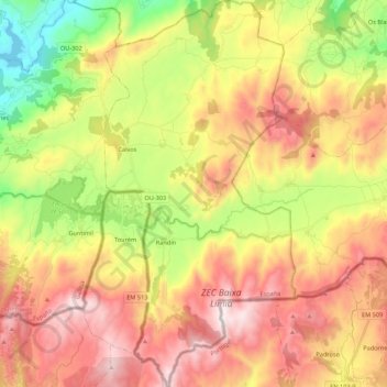
Name: Calvos de Randín topographic map, elevation, terrain.
Location: Calvos de Randín, Limia, Orense, Galicia, España (41.84485 -7.91049 42.00646 -7.80197)
Average elevation: 3,225 ft
Minimum elevation: 1,765 ft
Maximum elevation: 4,665 ft